

LiDAR Laser Scanning for Theatre
Measured building surveying with LiDAR is a cost-effective method of capturing a 3D digital representation of a space.
LiDAR laser scanning has a number of uses including AEC, archaeology, forensics, BIM, gaming, VFX, and production planning for live events.
In theatre, LiDAR laser scanning is a modern way of efficiently and accurately capturing a performance space or production design for the purposes of historical preservation, redevelopment works, and planning and visualising large-scale 21st-century shows.
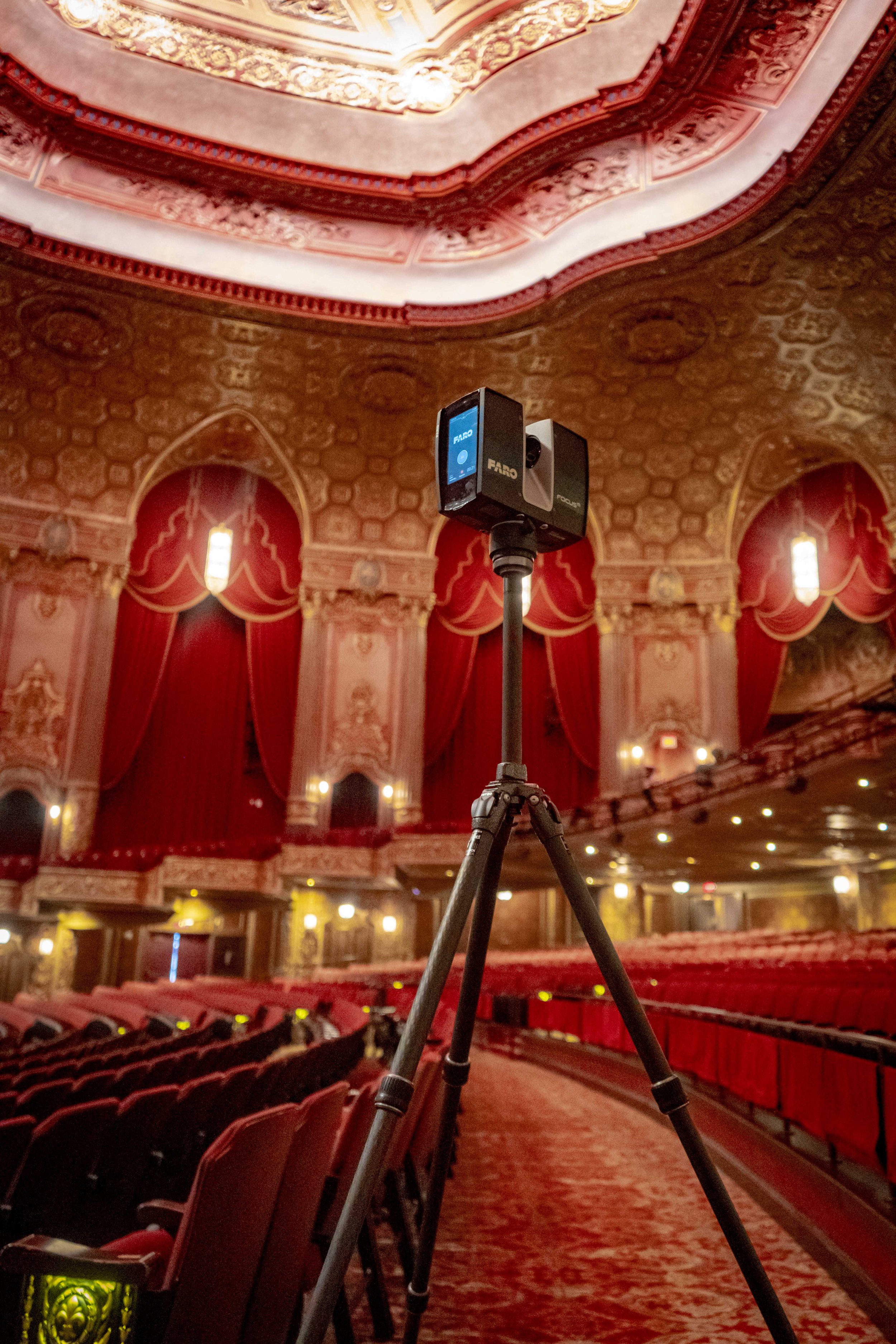
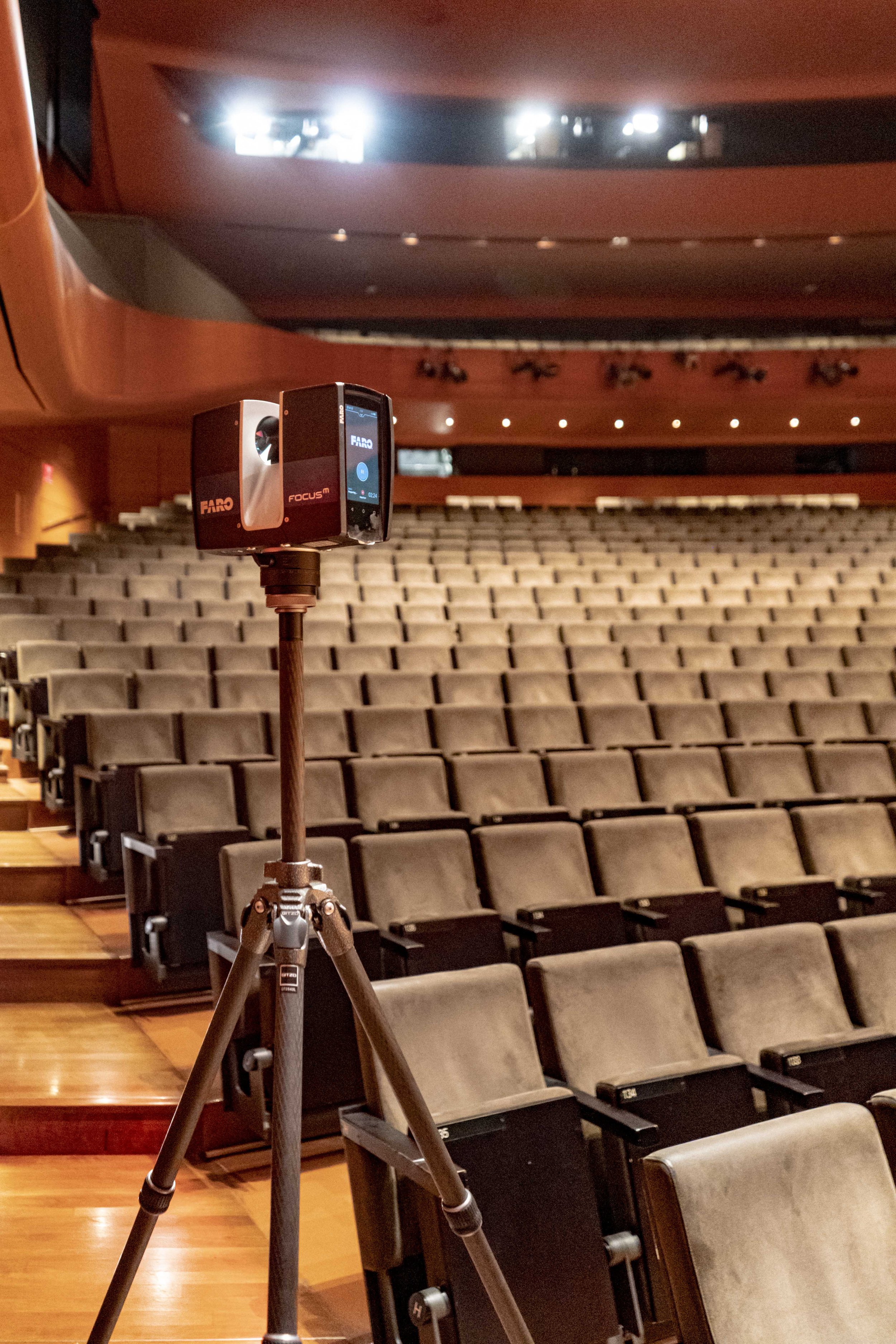
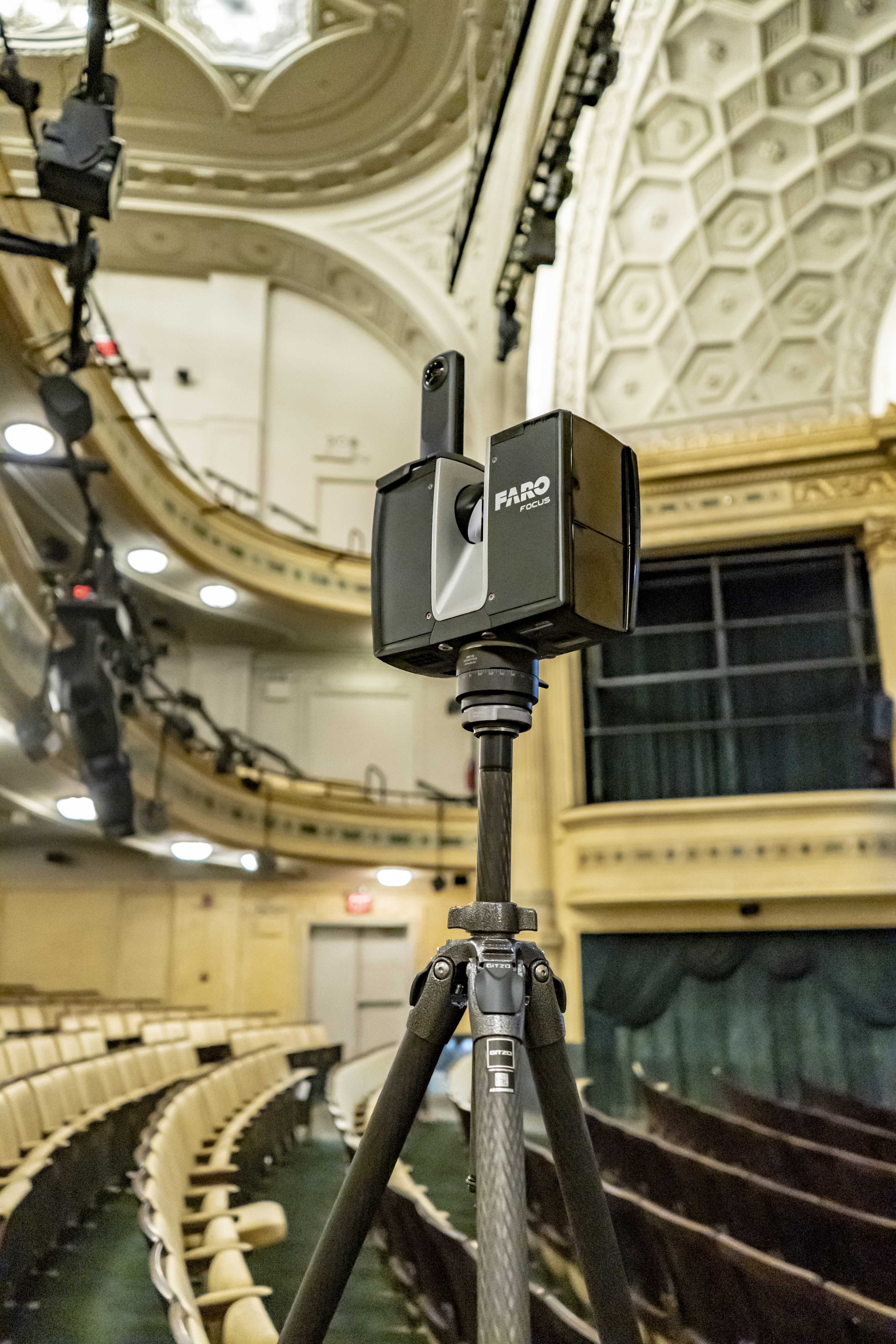
We use a range of scanners that typically operate at a capture rate of up to 1 million measurements per second down to a tolerance of 2mm. Our process typically takes around half a day to fully survey a theatre auditorium and stage depending on its level of complexity.
This process can be completed even with a current production in-situ that we then digitally remove from the scan.
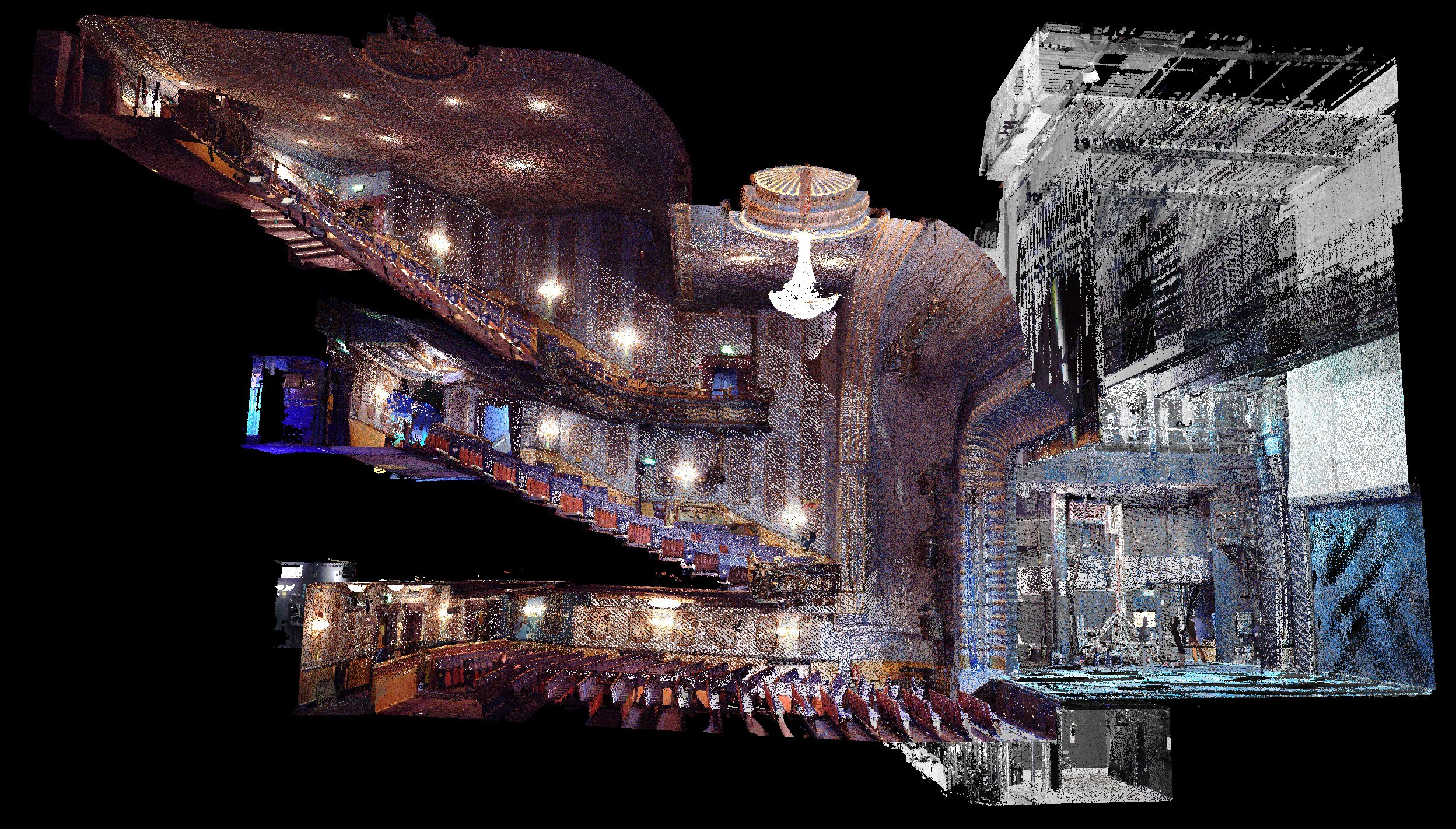
The output of the scanning process is a point cloud, which is a 3D volume of the aligned measurements captured during the scan.
We can supply this data in its raw form or as a remodelled and retopologised clean 3D CAD Digital Twin.
Producing a CAD model from a measured building survey enables us to guarantee accuracy and certainty with our Seat Preevue views from seats, our Sightline Analysis, and our visualizations.

We are specialists in LiDAR laser scanning for theatre and have scanned over 200 iconic venues around the world including:
The London Palladium
The Royal Opera House
Glyndebourne Opera House
Barbican Centre
Her Majesty’s Theatre
The National Theatre
The RSC, Stratford-Upon-Avon
Disney’s New Amsterdam Theatre
The Lincoln Center

Harry Potter and the Cursed Child, Lyric Theatre, New York
Kings Theatre Brooklyn, New York
Lincoln Center for the Performing Arts, New York

New Amsterdam Theatre, New York

Grand Opera House, York
Hudson Theatre, New York

Kölner Philharmonie, Cologne

Theatre Royal Drury Lane, London


LiDAR Scanning FAQs
-
A typical auditorium and stagehouse takes around 1 full working day to LiDAR scan. If you wish to scan other parts of the building, such as further back of house or front of house areas, this will take additional time.
-
The main output from the LiDAR scan is a point cloud. This is a 3D volume of all of the measurements taken during the scan. This file can be useful for AEC projects within the space and is the foundation for the rest of our modelling and drawing work. Outputs we supply include 2D as-built drawings, 3D Digital Twins, and Seat Preevue view from seat. Digital twins of venues built from LiDAR scans are also at the core of our Production Visualization work.
-
In most cases we can build a Digital Twin based on an existing point cloud file subject to the data meeting certain quality requirements.
-
The cost of this process varies and completely depends on the scale and complexity of individual venues. With no two venues being the same, there can be a lot of variation. It also depends on the outputs you require, whether it’s just a point cloud or additional files.
For a quote, please click here to get in touch and one of the team will be happy to help.